Search results for: “elevation”
-
Extensions for Leaflet Map
Extends the WordPress Plugin Leaflet Map with Leaflet Plugins and other functions.
-

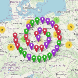
Waymark
Waymark adds powerful mapping features to WordPress that are easy to use. Create beautiful, interactive Maps customised to suit your needs.
-
-
-
-

Run Log
Add running diary capabilities – log your sport activities, track and display: distance, duration, gear (e.g. shoes), elevation gain, calories, etc.
-

Mapster WP Maps
Mapster WP Maps is the smoothest, easiest way to make maps for your site. No API keys required.
-
IP2Location Tags
Displays visitor’s geolocation information, geo-targeting and customize the page content for different countries based on users location.
-

IP2Location Variables
Library helps you to create location based website or content easily by integrating geolocation solution to your site. It supports both IPv4 and IPv6 …
-

Elevation Magic Link Login
Add a secure, passwordless login option to the default WordPress login form.
-

Leaflet Maps Marker (Google Maps, OpenStreetMap, Bing Maps)
The most comprehensive & user-friendly mapping solution for WordPress
-

Elevation Blocks
A collection of powerful Gutenberg blocks designed to help nonprofit organizations build beautiful, accessible, and effective websites with ease.
-

WP-Force Images Download
Force any image download with beautiful buttons, email gate, download tracking, AJAX, and more.
-
Block for Strava
Add your Strava activities, routes, and segments to any post or page with a single block.
-
-
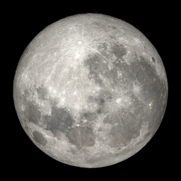
Celestial Lunar Phase Widget
Display the current Moon phase with local astronomy calculations, moonrise, moonset, astronomical dawn/dusk, illumination, bundled images, shortcode, …
-
-
Activator Toolkit for Summits on the Air (SOTA)
Display your SOTA activation beautifully — GPX maps, elevation charts, hiking stats, contact tables, and a contact map. No other plugins needed.
-
Zmanim WP
This plugin lets you configure a variety of halachic time calculations and add them via shortcodes.
-

GTL Maps
GTL Maps lets you showcase cycling routes with GPX tracks, interactive maps, elevation profiles, and nearby points of interest.